


Navilandia was a community art intervention involving scores of community members from the Parque Patricio neighborhood of Buenos Aires.
In Navilandia, Fabian Wagmister invited visual and media artists from the United States to partner with community groups to create temporary art installations and interventions throughout the neighborhood.
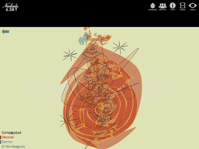
I was asked to create a GIS system to enable these groups to create interpretive digital maps of their works and to use these maps as source material for an online artwork. While it is common to use GPS and other mobile devices for community mapping efforts, we were working with underprivileged communities for whom these technologies are out of reach. Instead, I codeveloped a system of registered transparencies that allowed community members to draw maps by hand which were then digitized and encoded with geospatial data.
(video capture of online artwork)
Created in collaboration with Fabian Wagmister and Jeff Burke.